-
Updated magnetic model
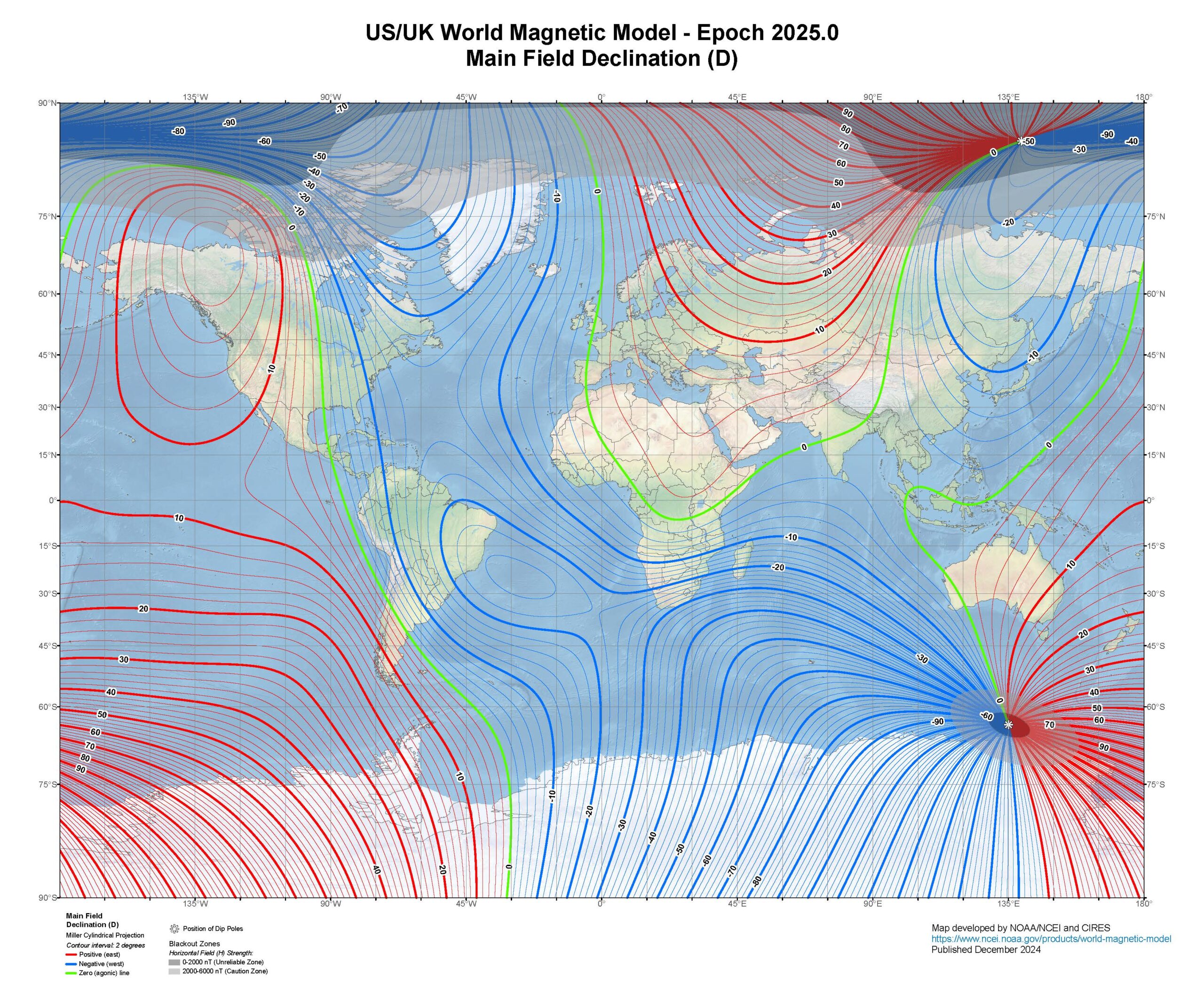
The calculations for magnetic declination (to allow maps to be orientated to magnetic north) reply on predictive models that only maintain sufficient accuracy for 5 years. The last model expired at the end of 2024 but the new model has now been installed so should be good until 2030, unless the magnetic poles become even…
-
Find Your Way

The Find Your Way project is a Sport England funded project to get more people engaged and active in their local spaces through virtual orienteering activities. The project is coordinated by British Orienteering and delivered through UK orienteering clubs. Many of these beginner events have used OpenOrienteeringMap to create maps and courses (often in conjunction…
-
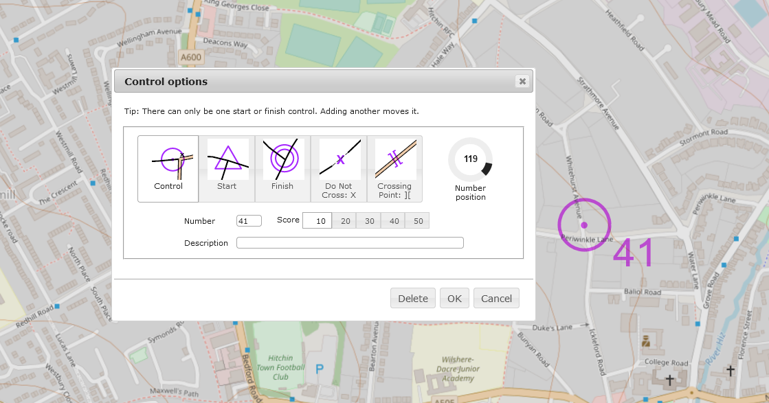
Oomap Remembers
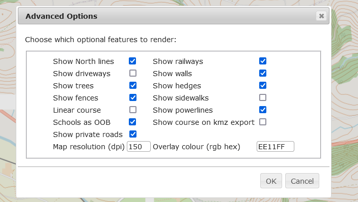
Following a recent update, Oomap now remembers certain settings between sessions, so once you’ve set these you should no longer need to keep having to set these: There’s also a new option to customise the colour of the purple overprint – set as a triplet of hex values (00-FF) for red, then green then blue.…
-
Supporting Oomap
Running Oomap costs real money for the hardware and running costs, and developing. maintaining and supporting Oomap costs real time. Oomap has always been, and will continue to be, free but users often want to contribute. Until recently all these costs were incurred by Oomap’s founder, Oliver O’Brien. More recently, I have taken on the…
-
Sorting out symbol alignment
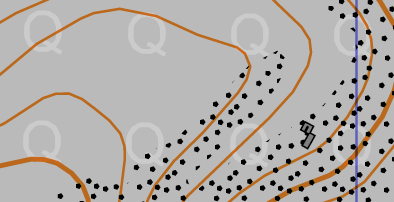
Oomap uses mapnik to produce its maps, and its maps are invariably orientated with True North up. Therefore all the area symbols, labels and so on are orientated the same way, and it’s very difficult to change. That’s fine, until you want an orienteering map that’s aligned to magnetic North, and you live somewhere where…
-
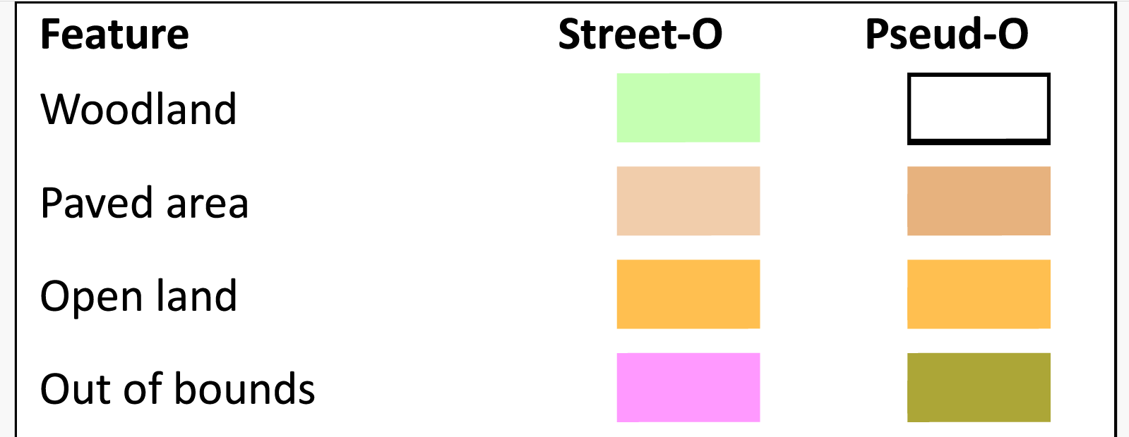
Additions to the PseudO style
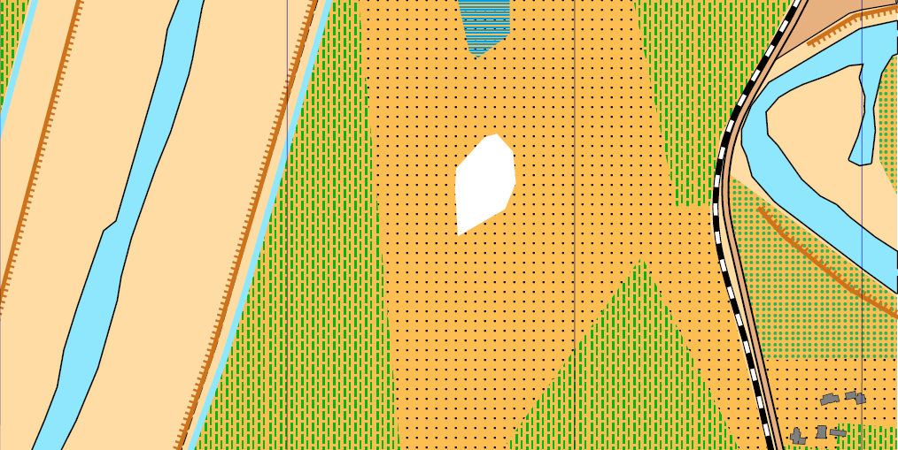
Although Oomap is primarily an urban mapping tool, it can be used for more rural areas. However, the symbol set lacks some key features. Based on a few requests, the following new symbols have been added (to just the PseudO style): Scree Orchard Vineyard Forest ride (cutline) – as rough open line Point water feature…
-
Some UI tweaks
A few new updates to make things a bit easier: 1. When setting the angle for a control label, the label now updates in real time, so you no longer have to guess where the label will end up. 2. If you double-click on the control number/description on the right-hand control description panel, the map…