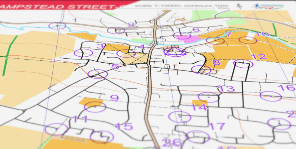
OpenOrienteeringMap (oomap) was the brainchild of Oliver O’Brien, first released in 2009, to provide an easy way to generate basic orienteering maps for informal urban score events. Ollie continued to improve the site, hosted at https://oomap.co.uk/.

I (David Dixon) have been actively working on further improvements to Ollie’s site, resulting in the version running here. Ollie’s code and my additions are all open-source, available at GitHub.
Major changes here compared to Ollie’s original include:
- Up-to-the-minute OpenStreetMap data globally
- Satellite-derived contours globally (5m, 10m)
- LIDAR-derived contours where available (5m, 10m)
- Magnetic North correction
- User interface enhancements
- Rendering rule enhancements
- Additional rendering options
- Support for line and score courses
For further details, start at “Getting Started” then individual topic sections. Comments and queries can be added to the “Feedback” page.