2. Dismiss the splash-screen. Pan & zoom to your location of interest, and click to place the map centre (zoom in further if this doesn’t work).
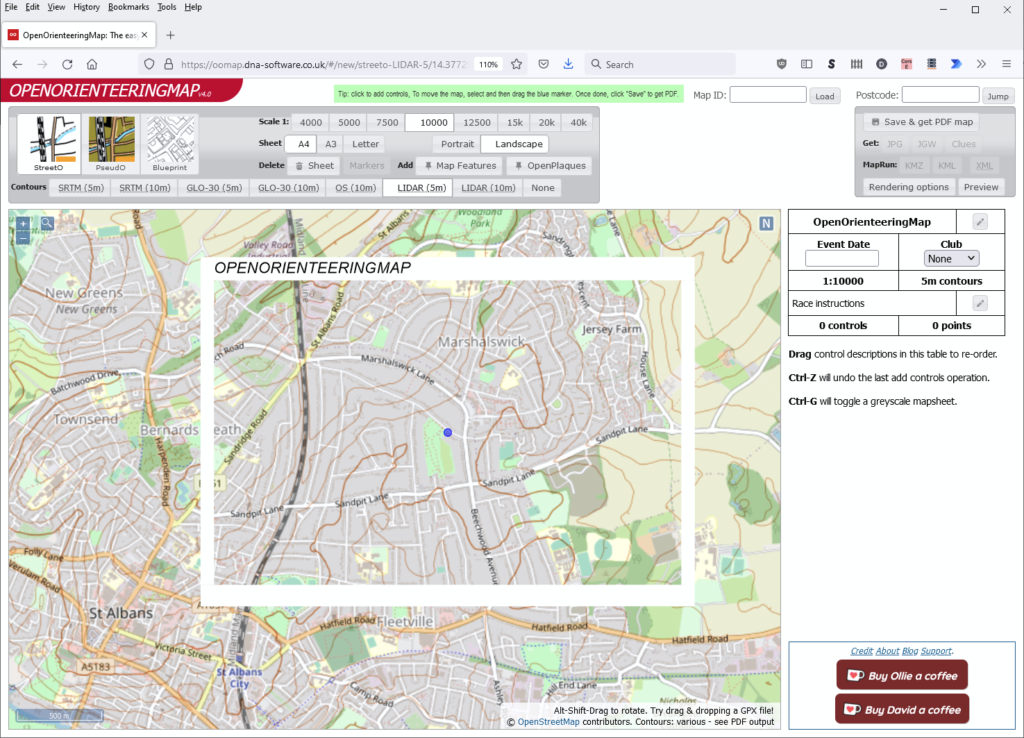
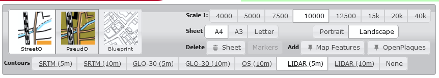
3. Change main map options using the upper panel to change scale, paper size, rendering style and contour options
4. Click in the map to add start, finish, controls and crossing-points.
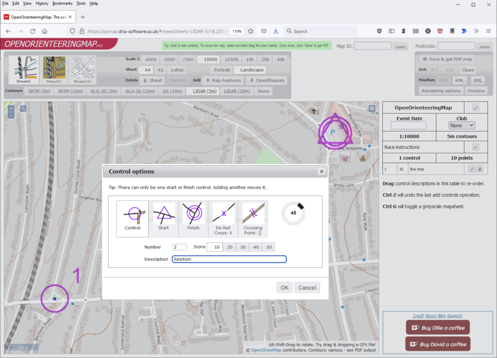
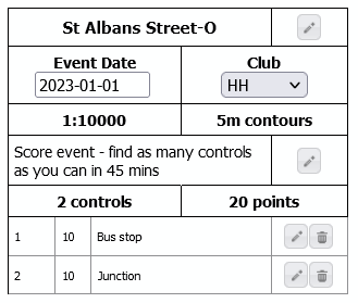
5. Edit the event details using the control description panel on the right-hand side.
6. Press the “Save & get PDF map” to save your map and produce a PDF file for printing.
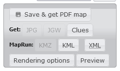
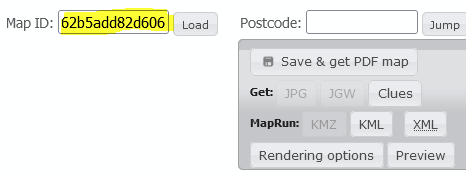
7. When saved, the Get: JPG, JGW and KMZ options activate. JPG is an image of the map, and the JGW is a companion file to geolocate this image (eg for use in Routegadget). KMZ is the same image (without controls) bundled in a Google Earth format for use with MapRun. KML is a course file for use with MapRun. XML is the course in IOF XML format for use in other course settings programs and UsylingO.
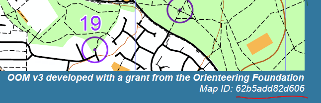
8. Recover an old map/course for editing by pasting the map code into the search box.