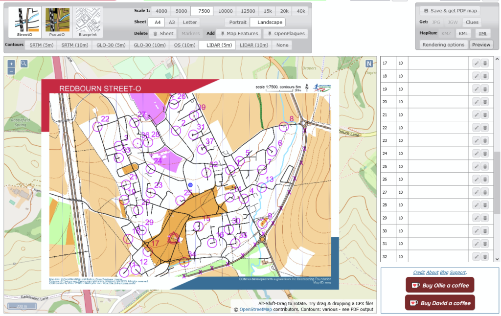
Once you are happy with your map and have selected your rendering options, you are ready to save and export it. This is done from the panel at the top-right:
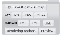
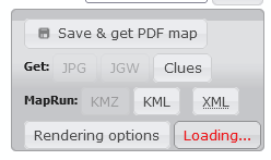
The first step is to “Save & get PDF map“. This firstly saves your map (location, scale, control positions, etc) to a database for later retrieval, then generates and downloads a PDF version of the map. A lot happens when you trigger this so please be patient- it may take a minute or two to return the PDF:
- The map details are saved to the local database;
- OpenStreetMap data for the map region is requested from the OSM servers;
- This data is extracted into a local set of database tables;
- Satellite digital terrain models are downloaded as necessary (for SRTM and GLO-30 contours), contours are calculated and added to a separate table;
- OSM and contour data are then read into the mapping engine to generate the output PDF.
Other export options become available after saving the map:
A JPG version of the map, along with its companion world file (JGW) can be downloaded. This pair of files is useful for setting up RouteGadget event results.
A KMZ version of the map, along with a KML file describing the controls, can be used for setting up a MapRun event.
IOF v3.0 XML can be downloaded, describing the course in a standard format and usable for setting up a UsilyngO event.
Finally, a control Clue sheet can be generated, ready for direct print-out or copy/pasting into another application.
The Preview button can be used to overlay a map preview onto the web view. One click activates the preview (which has to perform the whole process detailed above for PDF generation); another click will remove the preview. Each preview generates a call for data to the OSM servers; please do not unduly overuse this.
When the map is saved it is given a unique 13-character ID, which is printed at the bottom-right of the map. This ID can be used to reload the map later, e.g. to continue editing a half-finished map, or to re-export map files:
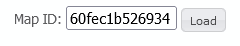
If you re-load a relatively recently-saved map, the original OSM data will still be cached locally, so regenerating the JPG or KMZ file will show the map as it was when the cached data was originally saved. If you want to refresh the map data (e.g. you have made some new edits to OSM), press “Save & get PDF map” to trigger allocation of a fresh map ID and retrieval of up-to-date mapping data.