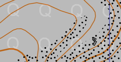
Although Oomap is primarily an urban mapping tool, it can be used for more rural areas. However, the symbol set lacks some key features. Based on a few requests, the following new symbols have been added (to just the PseudO style):
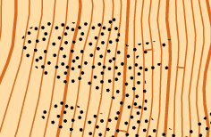
Scree
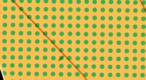
Orchard
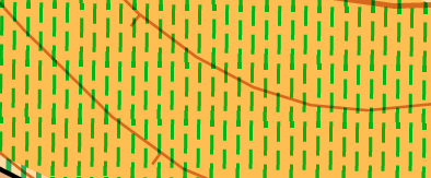
Vineyard
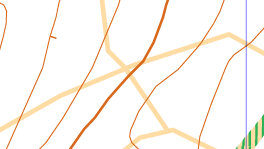
Forest ride (cutline) – as rough open line
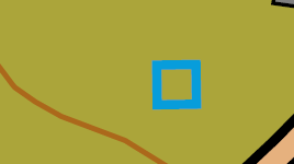
Point water feature (well, fountain, water tower, covered reservoir)
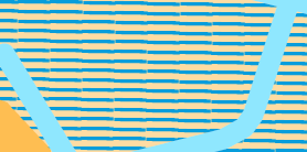
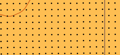
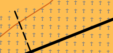
In addition some of the existing area fills have been updated to render as vector images giving higher quality output:
Marsh
Cultivated land
Graveyard
Quarry
Sand
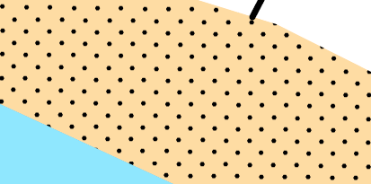
For technical reasons the pattern fills are all orientated towards true north so will be rendered at an angle if the map is aligned with magnetic north. I’ll see if this can be fixed in future…