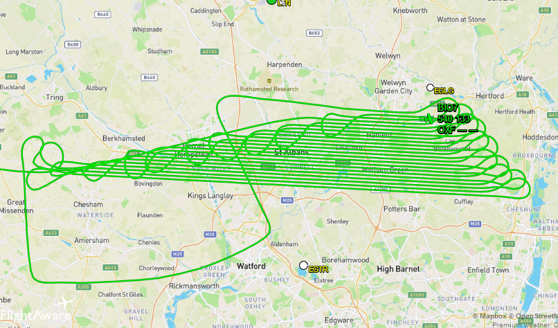
The LIDAR data at https://oomap.dna-software.co.uk/ currently covers around 85% of England, including most urban areas. Annoyingly there have been significant gaps in the coverage in my home county of Hertfordshire, which have meant that some of our Street-O events have been unable to use LIDAR contours.
While the composite English LIDAR dataset is incomplete, individual surveys over the last couple of winters (when leaf cover is lower) have covered Herts – as illustrated by this survey flight track from March 2021:
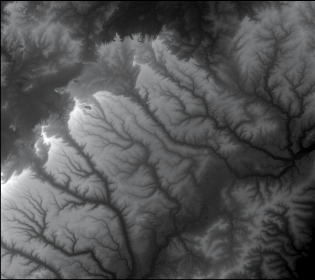
I’ve eventually put in the effort to download the individual high-resolution Herts data and combined it to give the image at the top – the Digital Terrain Model for most of Herts (West of the Lea Valley). Black is low elevation; white is high.
After some complex merging of this dataset with the larger but gappy England dataset, I’ve regenerated the contours for this region and updated the contour database – no more gaps!