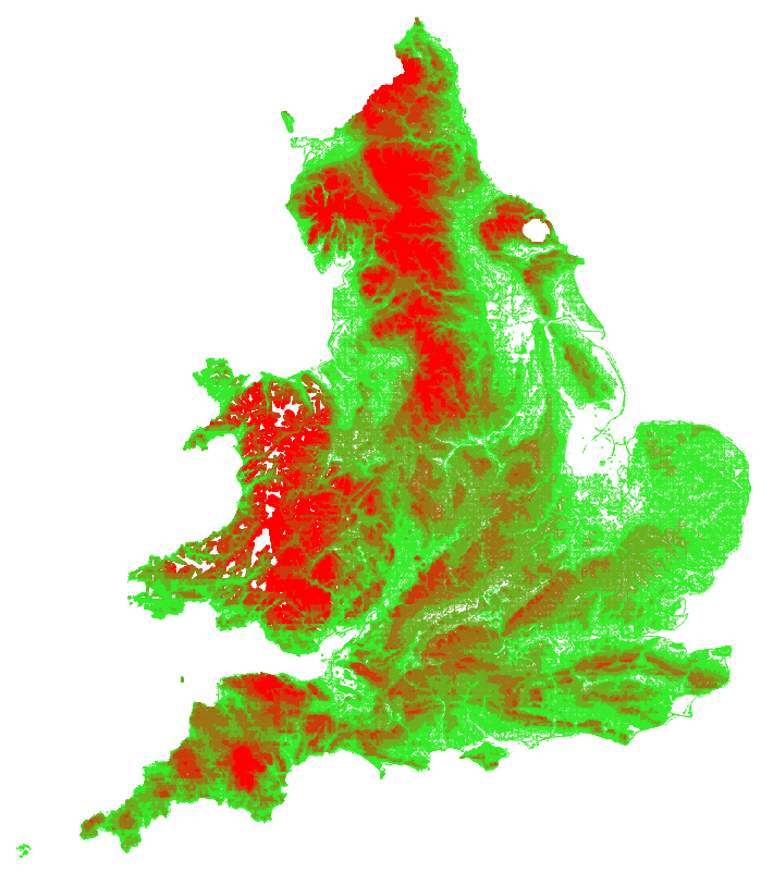
The Environment Agency released their latest composite LIDAR-based digital terrain model for England last week. They state >95% coverage across England but it looks to be complete apart from a circle around Fylingdales in North Yorkshire.
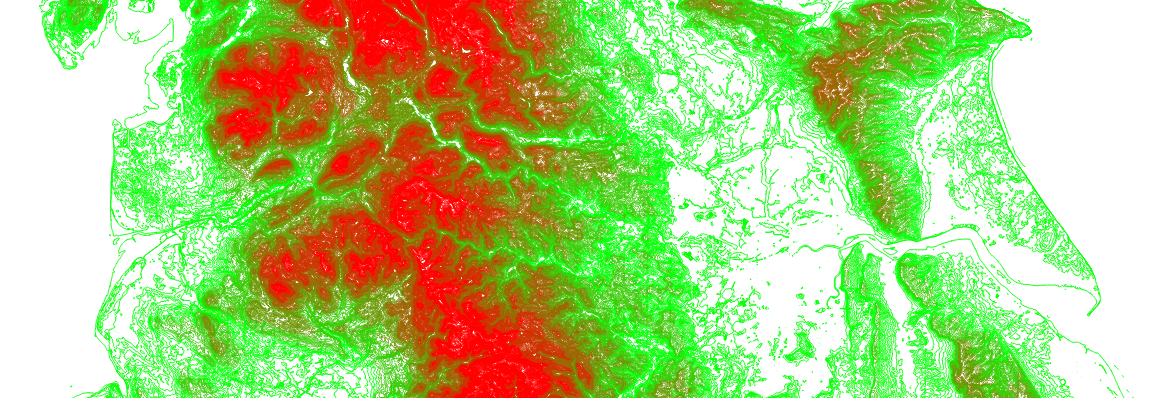
I’ve spent the last few days processing this and merging in with the Welsh LIDAR data to generate an updated set of contours. This is now live – choose either “LIDAR (5m)” or “LIDAR (10m)” as contour options and zoom in on your favourite bit of England to see for yourself.
I’m expecting an updated set of LIDAR data for Wales soon, and will refresh these contours in due course.
Here’s all the contours in England and Wales, coloured by height.