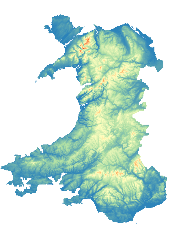
Hot on the heels of England’s LIDAR update, the Welsh Government have released their data from LIDAR surveys in 2020 – 2022. This dataset has a few gaps, in particular some coastal regions, but these were almost entirely covered in their older data. As a result, the combination of old and new LIDAR data gives nearly (but not quite!) complete coverage across Wales.
This data was surprisingly quick and easy to download as a resampled, 10m x 10m terrain model – a single command in Linux:
gdal_translate --debug on /vsicurl/https://dmwproductionblob.blob.core.windows.net/cogs/wales_lidar_dtm_1m_32bit_cog.tif wales_10m.tif -outsize 10% 10%This is the terrain model from which the contours were derived: