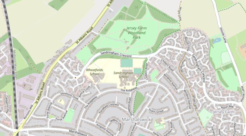
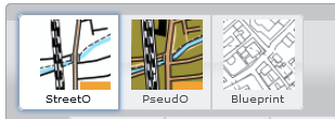
Although the map setup is performed using the standard OpenStreetMap rendering as the background map, final maps are produced using a custom rendering. There are three main options, plus the standard view:
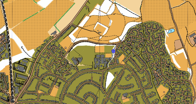
“StreetO” is a high-contrast, fairly minimal style suitable for many informal street events.
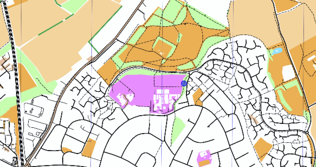
“PseudO” more closely matches a more standard urban specification, with buildings in grey and residential areas in olive-green.
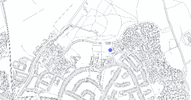
“Blueprint” is good for colouring-in projects!
Choice of map style is available using the graphic buttons at the top-left of the screen:
Further refinement of the rendered view is possible as described in Rendering Options.
A legend for the StreetO and PseudO styles is available here